Updated: 2026-07-23 07:28 CEST
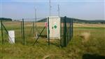
Locality
| Locality: |
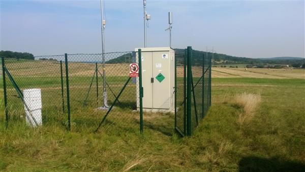
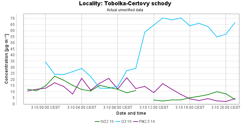
Tobolka-Certovy schody
|
|
| Code: |
STCSA |
| Type of measuring programme: |
Automated measuring program |
| Locality owner: |
Vapenka Certovy schody, a.s. |
| Abbreviation: |
B/R/ANI-NCI |
| Coordinates: |
49° 55´ 6.610" North latitude 14° 5´ 40.161" East longitude |
| Altitude: |
420 m |
Actual measured level of air pollution
Actual unverified data
| 2026-07-22 07:00 - 08:00 CEST |
|
|
|
|
52.7 |
52.2 |
|
|
|
| 2026-07-22 08:00 - 09:00 CEST |
|
|
7.1 |
|
52.3 |
52.9 |
|
|
|
| 2026-07-22 09:00 - 10:00 CEST |
|
|
4.2 |
|
64.0 |
53.8 |
|
|
|
| 2026-07-22 10:00 - 11:00 CEST |
|
|
1.0 |
|
84.2 |
57.0 |
|
|
|
| 2026-07-22 11:00 - 12:00 CEST |
|
|
|
|
87.4 |
62.1 |
|
|
|
| 2026-07-22 12:00 - 13:00 CEST |
|
|
1.0 |
|
87.2 |
67.3 |
|
|
|
| 2026-07-22 13:00 - 14:00 CEST |
|
|
1.0 |
|
88.6 |
71.5 |
|
|
|
| 2026-07-22 14:00 - 15:00 CEST |
|
|
1.0 |
|
88.4 |
75.6 |
|
|
|
| 2026-07-22 15:00 - 16:00 CEST |
|
|
1.0 |
|
87.8 |
80.0 |
|
|
|
| 2026-07-22 16:00 - 17:00 CEST |
|
|
1.0 |
|
90.0 |
84.7 |
|
|
|
| 2026-07-22 17:00 - 18:00 CEST |
|
|
1.0 |
|
88.8 |
87.8 |
|
|
|
| 2026-07-22 18:00 - 19:00 CEST |
|
|
|
|
85.0 |
87.9 |
|
|
|
| 2026-07-22 19:00 - 20:00 CEST |
|
|
2.9 |
147.4 |
84.2 |
87.5 |
|
|
|
| 2026-07-22 20:00 - 21:00 CEST |
|
|
2.9 |
141.6 |
77.4 |
86.3 |
|
|
|
| 2026-07-22 21:00 - 22:00 CEST |
|
|
3.1 |
142.6 |
71.0 |
84.1 |
|
|
|
| 2026-07-22 22:00 - 23:00 CEST |
|
|
3.6 |
143.1 |
73.6 |
82.2 |
|
|
|
| 2026-07-22 23:00 - 00:00 CEST |
|
|
5.0 |
154.7 |
|
81.4 |
|
|
|
| 2026-07-23 00:00 - 01:00 CEST |
|
|
10.5 |
199.7 |
62.2 |
77.5 |
|
|
|
| 2026-07-23 01:00 - 02:00 CEST |
|
|
5.4 |
214.3 |
65.8 |
74.2 |
|
|
|
| 2026-07-23 02:00 - 03:00 CEST |
|
|
3.1 |
208.8 |
65.4 |
71.4 |
|
|
|
| 2026-07-23 03:00 - 04:00 CEST |
|
|
9.0 |
235.5 |
56.7 |
67.4 |
|
|
|
| 2026-07-23 04:00 - 05:00 CEST |
|
|
7.1 |
249.6 |
59.3 |
64.9 |
|
|
|
| 2026-07-23 05:00 - 06:00 CEST |
|
|
3.8 |
254.5 |
58.9 |
63.1 |
|
|
|
| 2026-07-23 06:00 - 07:00 CEST |
|
|
7.5 |
265.6 |
51.1 |
59.9 |
|
|
|
|
|
Component is not measured |
|
|
Incomplete data |
|
|
Limit exceeded |
Map of station position
Map is on page with detailed information about locality